Map, Maps, Maps!
Sunday, April 24, 2011
DLG
http://pubs.usgs.gov/dds/dds-81/Intro/TopographicData/DEM/DEM.html
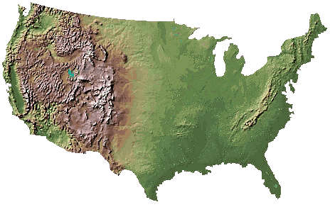
This is a Digital Elevation model of the United States. The reader will see that the Rockies are elevated much higher.
No comments:
Post a Comment
‹
›
Home
View web version
No comments:
Post a Comment